| |
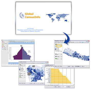
Features |
 |
Census indicators organised by sector |
|
Country-specific adaptation for indicator lists |
|
Census data disaggregated by socio-economic characteristics |
|
Sub-national data linked to census maps |
|
Dissemination of census results in galleries of
tables, graphs and maps
|
|
Deployment on desktops and the web
|
|
Multiple language support |
|
Options for handling microdata and indicator
data
|
|
Standard reports with pre-determined cross-tabulations
at different geographic levels
|
|
Depiction of time series data in animated maps
|
|
Data exchange with other software applications
(CSPro, Redatam)
|